Your cart is currently empty!
#Hanfugirltravels: Journey to the wild (north) west [Part 1/2]
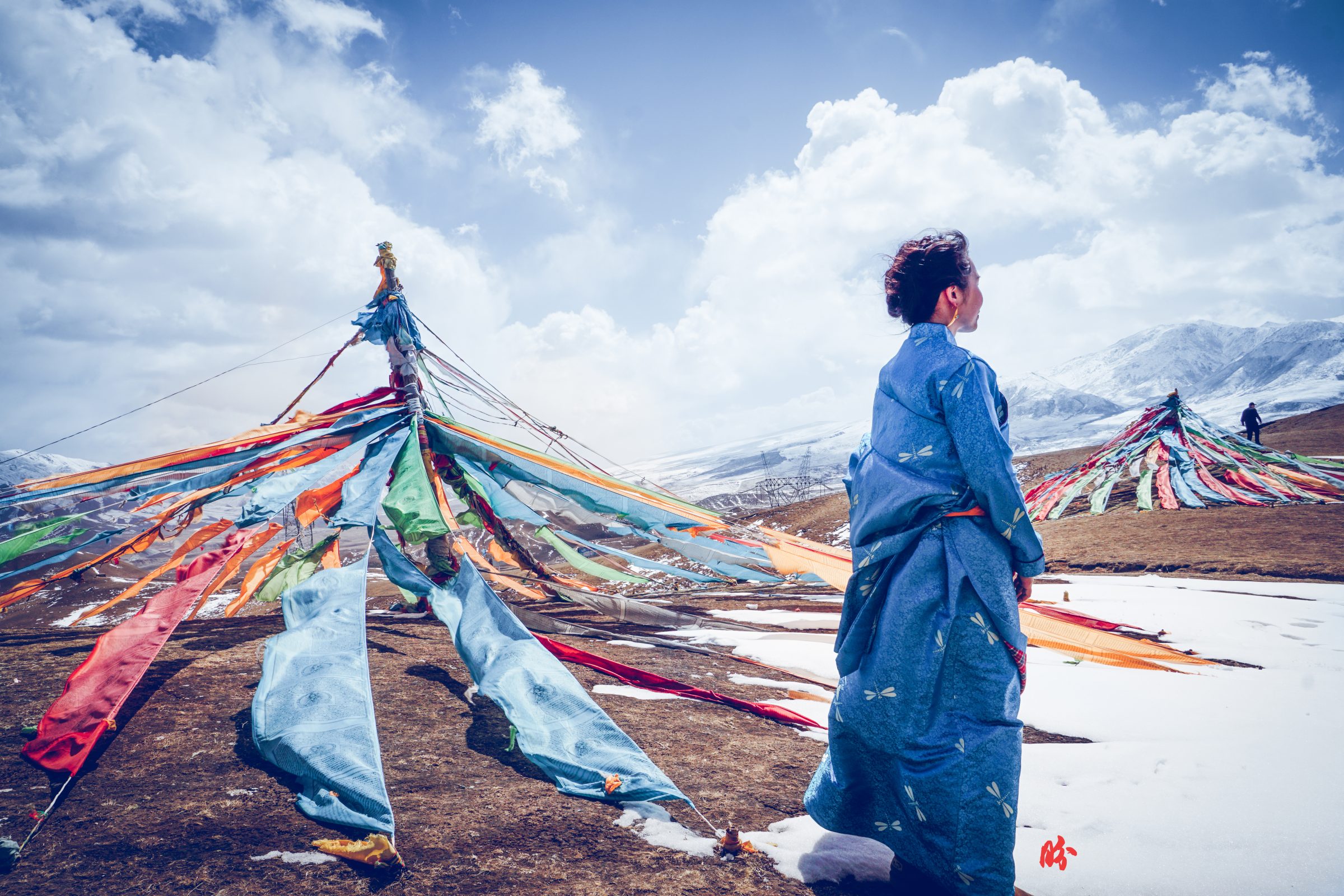
After travelling to what the ancient central Chinese (中原) regarded as the “Barbaric South” (南蛮) in the Hunan and Yunnan region, I ventured to another region known as the great wild north & west (大西北). That is the region that lines the border between China and the Western and Central Asian world, and that’s actually the most exciting in terms of cross-cultural discovery and learning for me. But as with the ancient times, because of the harsh environment, it was underdeveloped and one must be ready to face nothingness for a while before an interesting spring of civilisation and settlement pops up almost like a mirage.
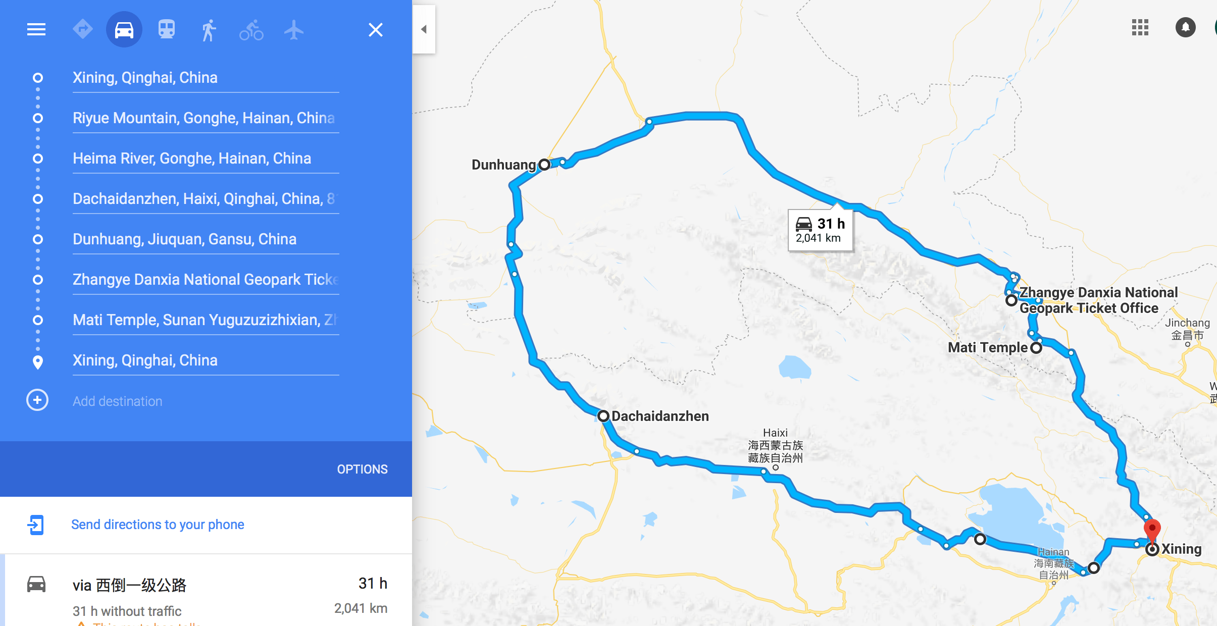
The rough trip looks like this, and spanned over 7 days. If you’re not travelling during peak season to Qinghai (which is about June-end August), you generally don’t need to book the hotels too far in advance. Actually, I would recommend you finding a driver-guide for this trip because you’d be travelling to very remote places that have limited if no accommodation for foreigners. Having a guide would solve a lot of these logistical issues.
Also, because it’s such a long trip, with so many sights along the way, you would probably be better off having a more flexible schedule that allows you to spend more time at places you like, and less time at places you don’t. Like we spent 2 nights in Dunhuang, which is perfect cos we got to watch a really nice immersive theatre based on the history of Dunhuang for one night, and spent the other night climbing the quicksandish desert hill. If you are adventurous, you could even opt for a tent overnight in the middle of the desert for star gazing and whatnot.
Because picture paints a thousand words, and we are all have been spoilt by technology to have short attention span for written words, I’m going to attempt to distract you with pictures and insidiously slide in write-ups so hopefully you’ll be more willing to read! 😛
Day 1 (Xining西宁-Riyue Mountain日月山-Heimahe黑马河)
Day 2 (Heimahe-Dachaidan大柴旦 salt flats)
Day 3 (Dachaidan-Yardang-ish雅丹 landscape-Dunhuang)
Day 4 (Dunhuang敦煌)
Day 5 (Dunhuang-Zhangye张掖)
Day 6 (Zhangye)
Day 7 (Zhangye-Mati Si马蹄寺-Xining)
All these names would make NO sense to you now (as they didn’t for me), so the next step is to make meaning of these names through pictures and stories.
Here we go~
DAY 1 QINGHAI LAKE 青海湖
We set off in the city of Xining, the major city in Qinghai that is extremely multicultural with a relatively large population of Hui ethnic Chinese (Chinese-muslim population), Tibetan Chinese and Han Chinese. You could see halal restaurants and eateries everywhere, and mosques too! Unlike the Uyghurs in China (mainly staying in Xinjiang), the Hui ethnic Chinese look very similar to the Han Chinese as their ancient ancestors married local Han Chinese as early as about 1,000 years ago.
We travelled amongst the snowcapped mountains one of which was the Ri Yue Shan (Mountain of the Sun and the Moon, AKA Nyima Dawa La in Tibetan). It looked just like any other snow mountain that we drove past except that it’s got a great significance in the history of Tibet-China. As early as Tang dynasty in the 7th century, the central Chinese royalty were already establishing close ties through marriage alliances with the Tibetans. Princess Wen Cheng and her entourage took more than half a year to travel about 3,000km from Xi’an to Tibet for the marriage, and she apparently bypassed this area on her way to Tibet. This is also the ancient trade route into Tibet.
[Princess Wencheng also affected the way the Tibetans did their brick red facepaint. I will probably do a bit more about it in depth if I get the chance to, in time.]
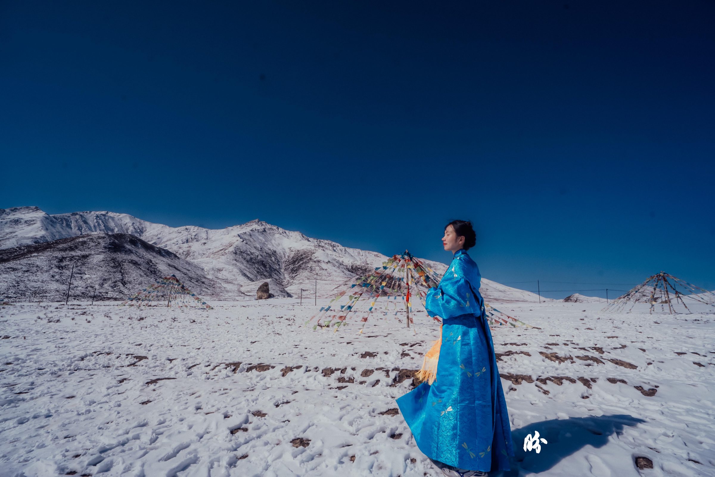
The Chinese name Sun-Moon originated from the story that she looked into a mirror with sun and moon engraving on her way to Tibet, expecting to see her family in the mirror (magic mirror???) only to find her own reflections. Out of anguish, she smashed the mirror (which is odd, cos she probably used bronze mirror back then, not glass…). Anyway, stories are stories, we’ll just leave it as that!

The story behind why Princess Wencheng was married off to the Tibetan king was that the king was unhappy that the Turk and Tuyuhun kings both had Tang princess as wives, granted by the Tang emperor of central China, while he wasn’t bestowed upon such prestige, so he sent envoy to demand/request for a Chinese (princess) bride. The Tang emperor, for some reason, didn’t approve of this request/demand (Chinese records said request, Tibetan records said demand), and the Tibetan king sent troops to attack China’s frontier and defeated the Chinese troops there, so Emperor Taizong had to send reinforcement army.
Here’s where it gets interesting:
- Tibetan records indicated that their army defeated the Chinese troops and forced Emperor Taizong to offer marriage alliance of with a Tang princess to appease the Tibetans.
- But Chinese records indicated that the reinforcement troop caught the Tibetans by surprise by launching a night attack. The Tibetan king didn’t want to surrender initially, but after the suicide of 8 major high ranked officials, and upon hearing that the main reinforcement troop had yet to arrive (it was only the secondary reinforcement troop that attacked), that he finally gave up the fight and surrendered with five thousand taels of gold (about 180kg) and other things as peace offerings. And then he begged time and time again for the Tang princess, and that’s how she got bestowed upon him.
Which version do you believe?
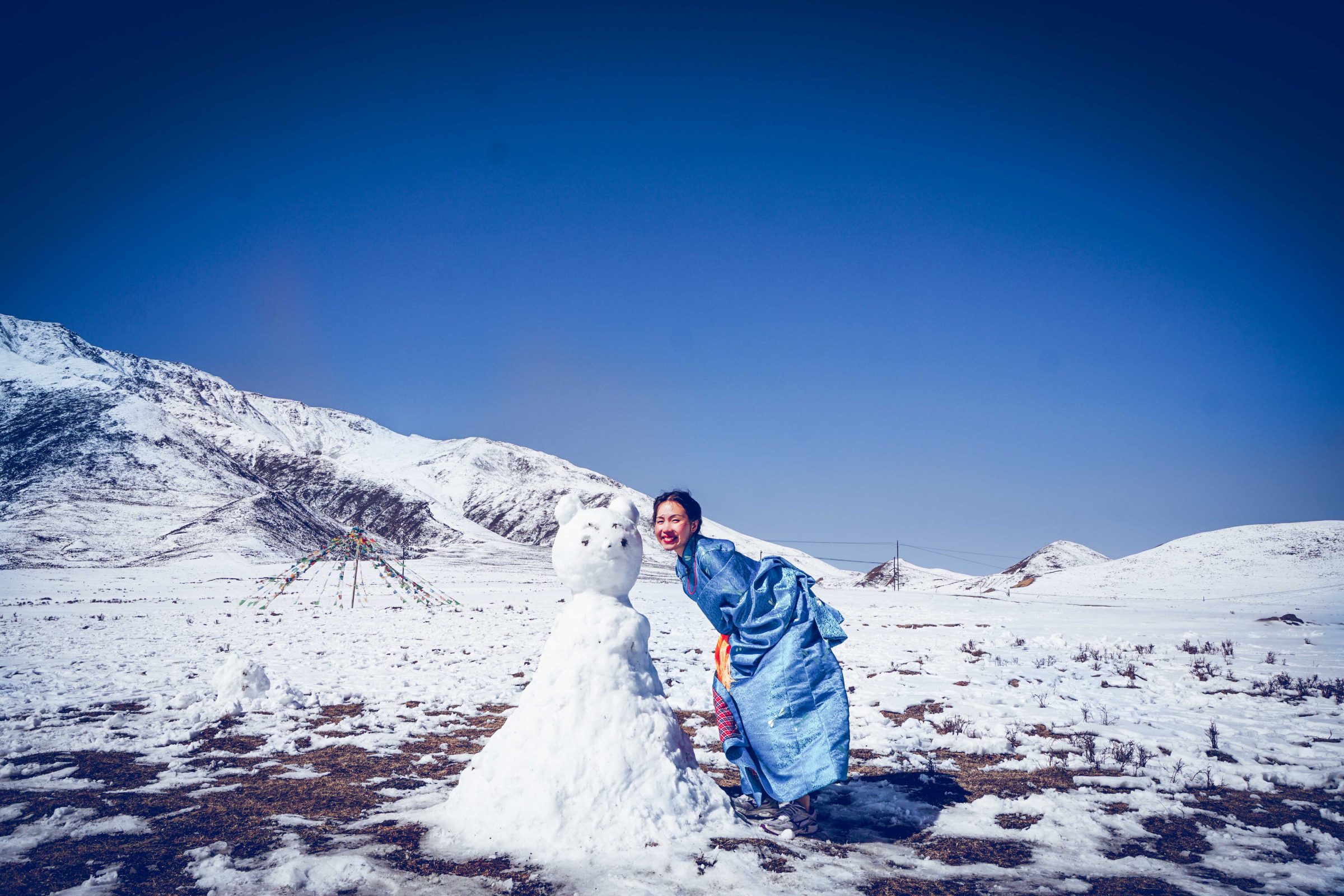
Then there’s the Qinghai Lake. It was a huge lake. You probably need about 2-3 days to go around it by car and take it all in. Snowcapped mountain line the lake in the far distance, and in summer, the plains would be filled with rape flowers, making the entire picture layers of yellow (flowers), blue (sea), white (clouds/mountain) and blue (sky).
The problem is, you’d be fighting with ten thousand other visitors for a picture. So, I am contented with my picture and experience at a low season. Also, during summer, due to global warming, the snow on the mountain might not be there anymore.
We didn’t go to the official Qinghai Lake tourist site, because our guide found a side gate managed by Tibetans sitting in a van collecting fees much lower than the official tourist site. Good enough~ #hacked
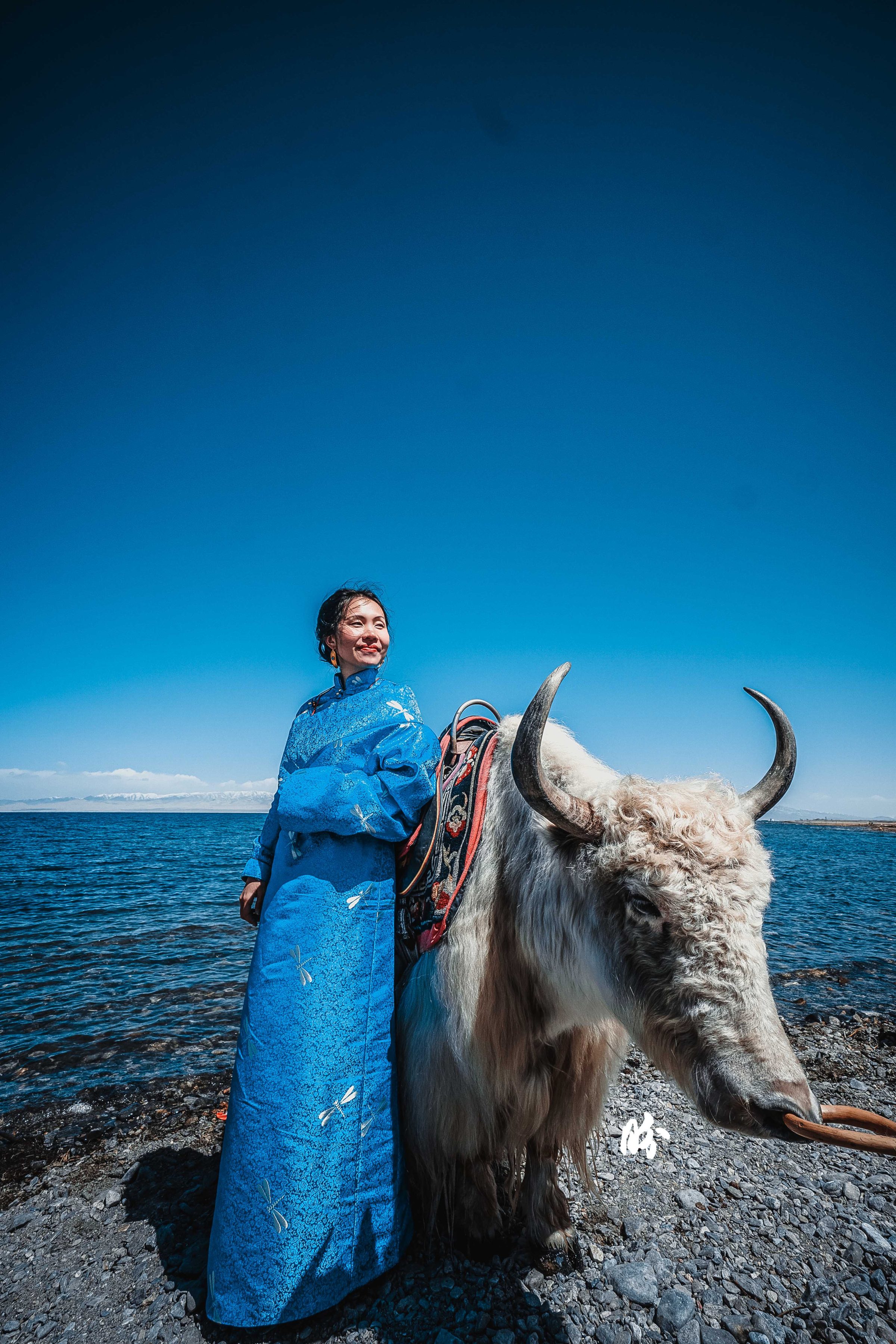
In case you were wondering, yes, I wasn’t wearing Hanfu. This was a new set of Tibetan Robe that I got at Xining, from the auntie who made my previous Tibetan robe. She wanted to just loan me for photoshoots and send it back to her after use, but I thought it would be taking advantage of her kindness cos they don’t earn much from selling these, and I wouldn’t want to live with the fear of spoiling it, so I bought it from her. Turns out it’s really a good decision cos it really matched the surrounding!
She also taught me how to wear them, so.. after sharing Hanfu make up and hairstyle 101 etc. I will get to this, eventually! so much backlog of things to share, so little time!
Anyway, we spent a night at Qinghai Lake, and watched the sunrise the next morning, which was alright, but nothing really spectacular.
DAY 2 SALT FLATS!!!! I had grand expectations… but the tourist site of Chaqia salt flat was closed because too many people trampled over it and the magic was gone. I didn’t quite understand how salt flats work, so when my guide told me we didn’t miss out much since it’s all like muddy water now I thought he was telling me a white lie to console me. I always assumed that salt flats would remain salt flats no matter how much you walk on them, cos salt doesn’t change its colour right? Then he brought us to another lake area with small salt lakes/ponds, and colourful ones too (and free admissions!). They’re called emerald lake. Different depth produced difference tones of blue and green. And true enough, once you step into the shallow sand flats, they disintegrate under your feet and the more you step, you would be exposed to the soil beneath and it becomes muddy.
Before we got there, we came across interesting formations, so we took a photo randomly there. I have no idea where this is.
Arrived at the emerald lake. I stepped into the water to get a better picture, and my feet sunk deep into the salt base. IT WAS FREEZING! Of course you don’t see that in pictures, cos I am professional that way 😛
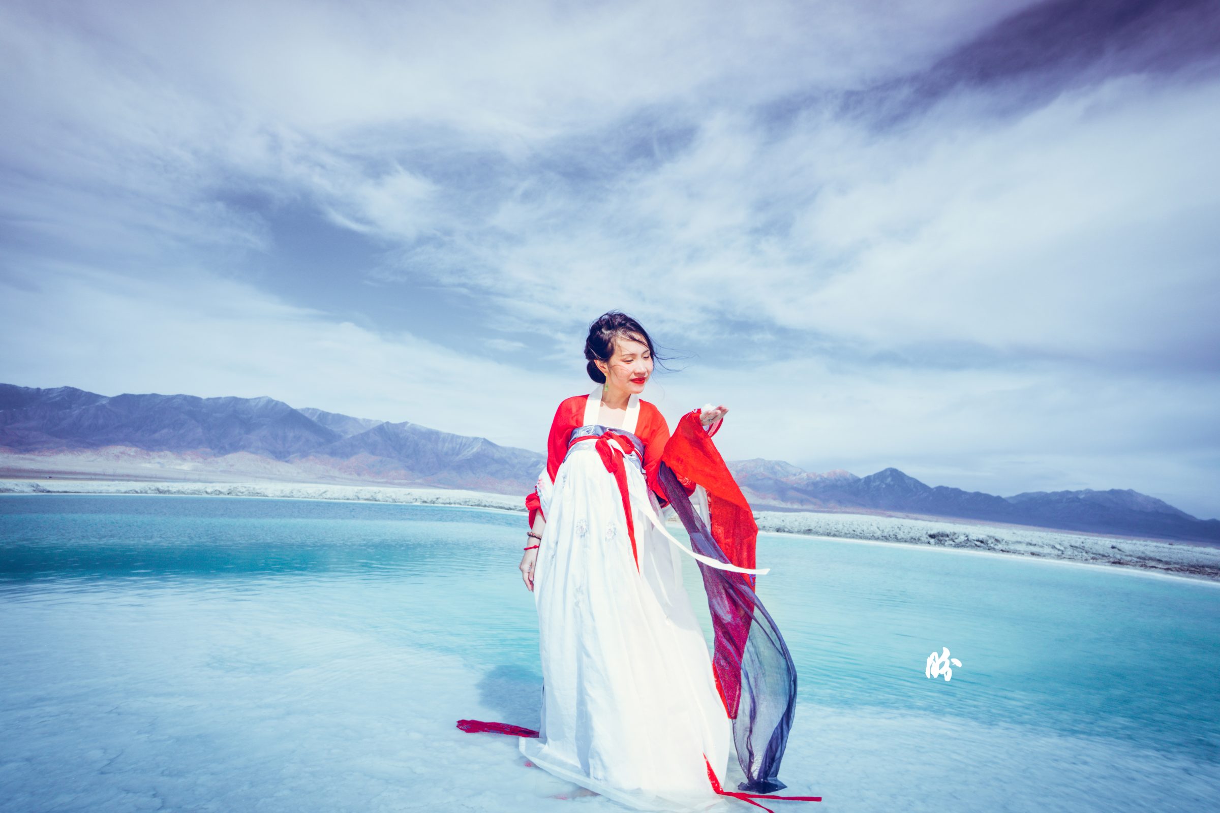
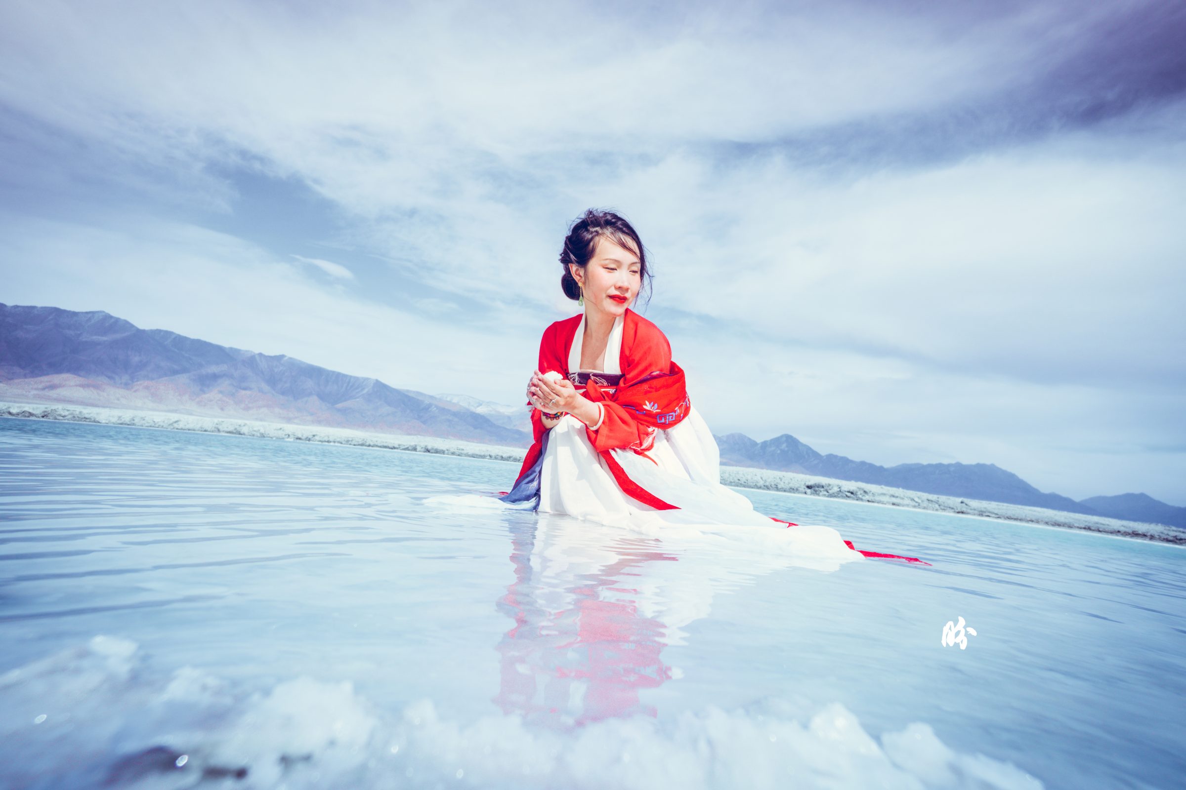
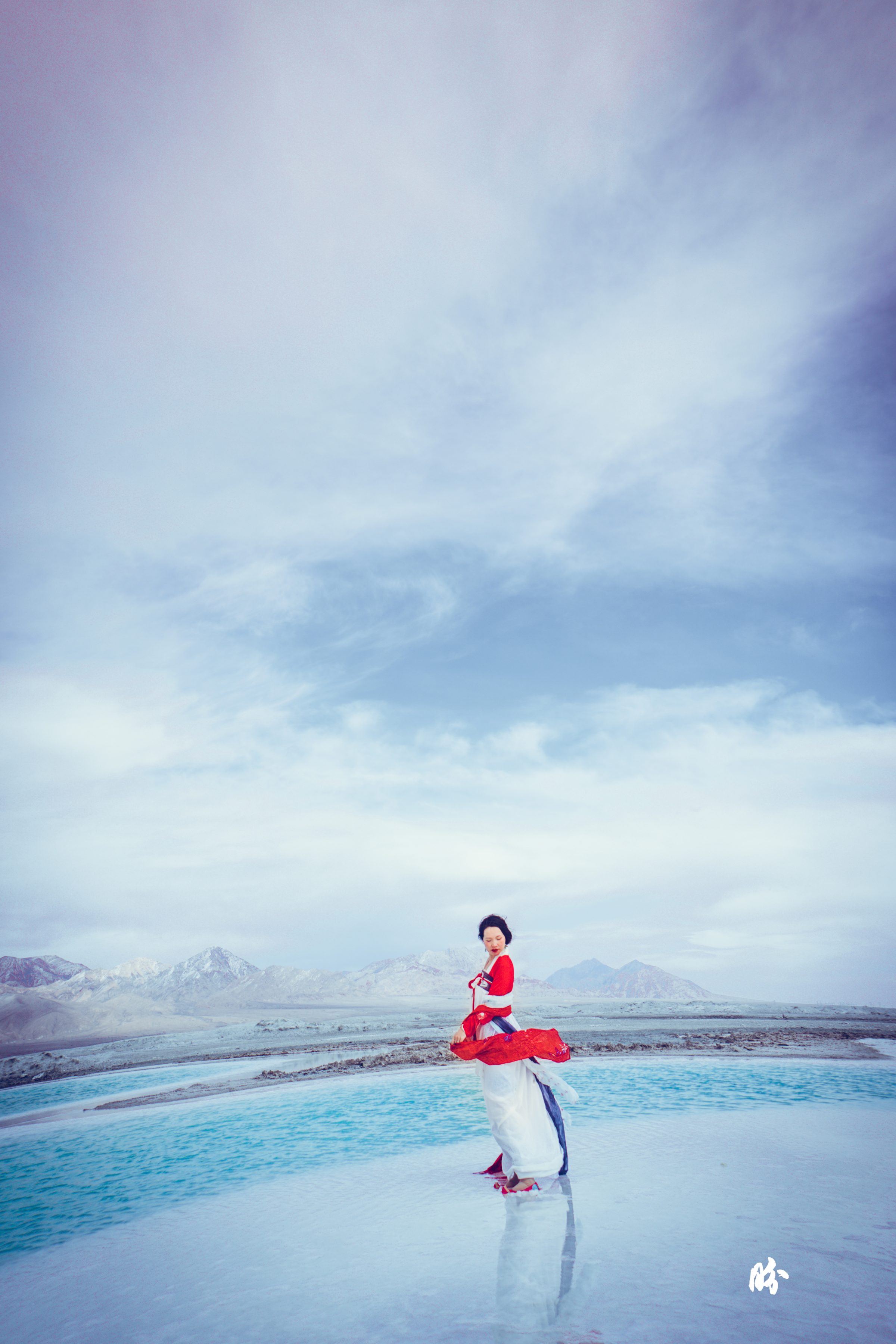
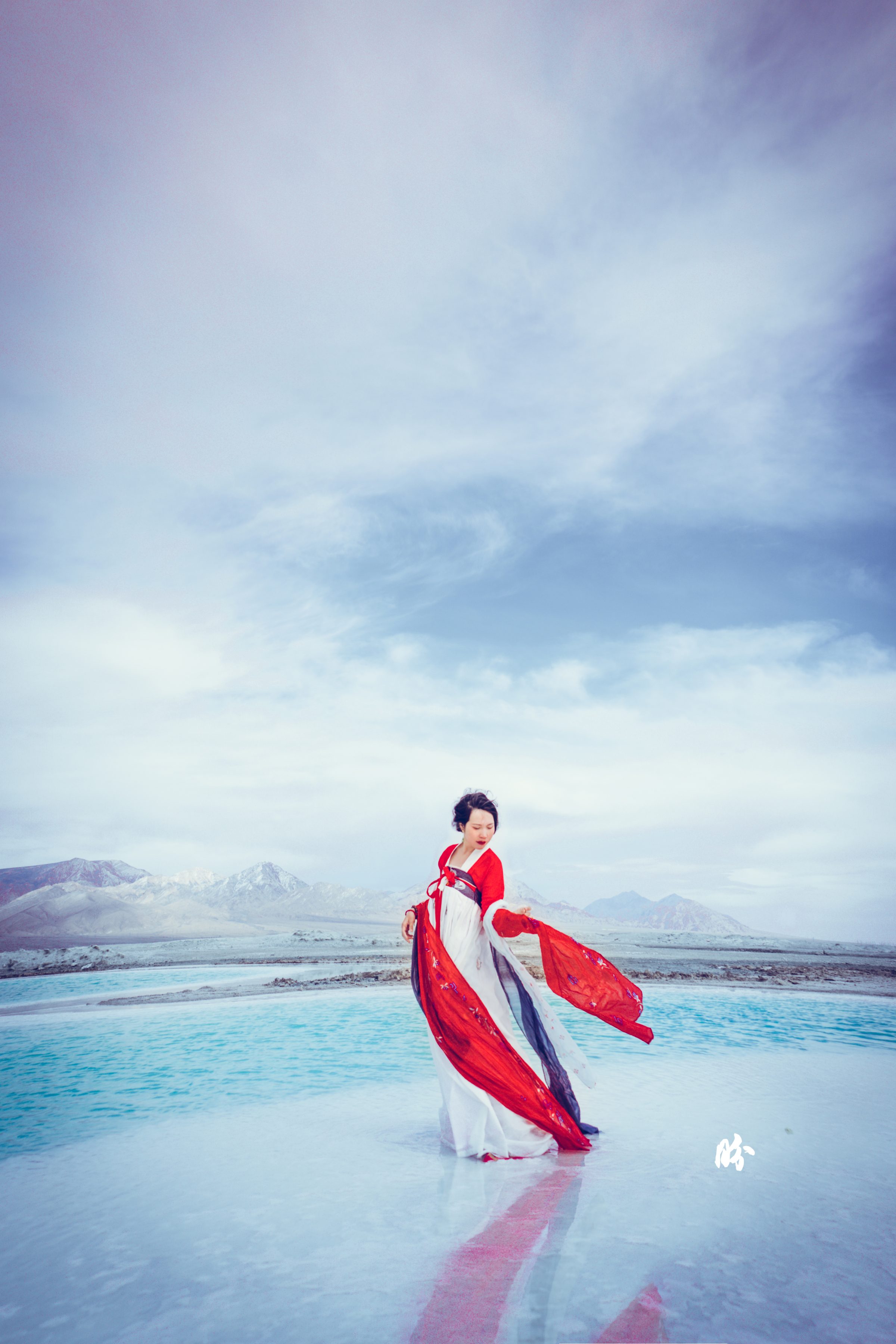
By the end of the picture, the entire car was filled with soil, salt, and I couldn’t feel my feet and hands.
The part of the actual landscape from my husband’s camera phone is as below. Don’t they look like pieces of emerald/jade scattered around?
DAY 3 YARDANGs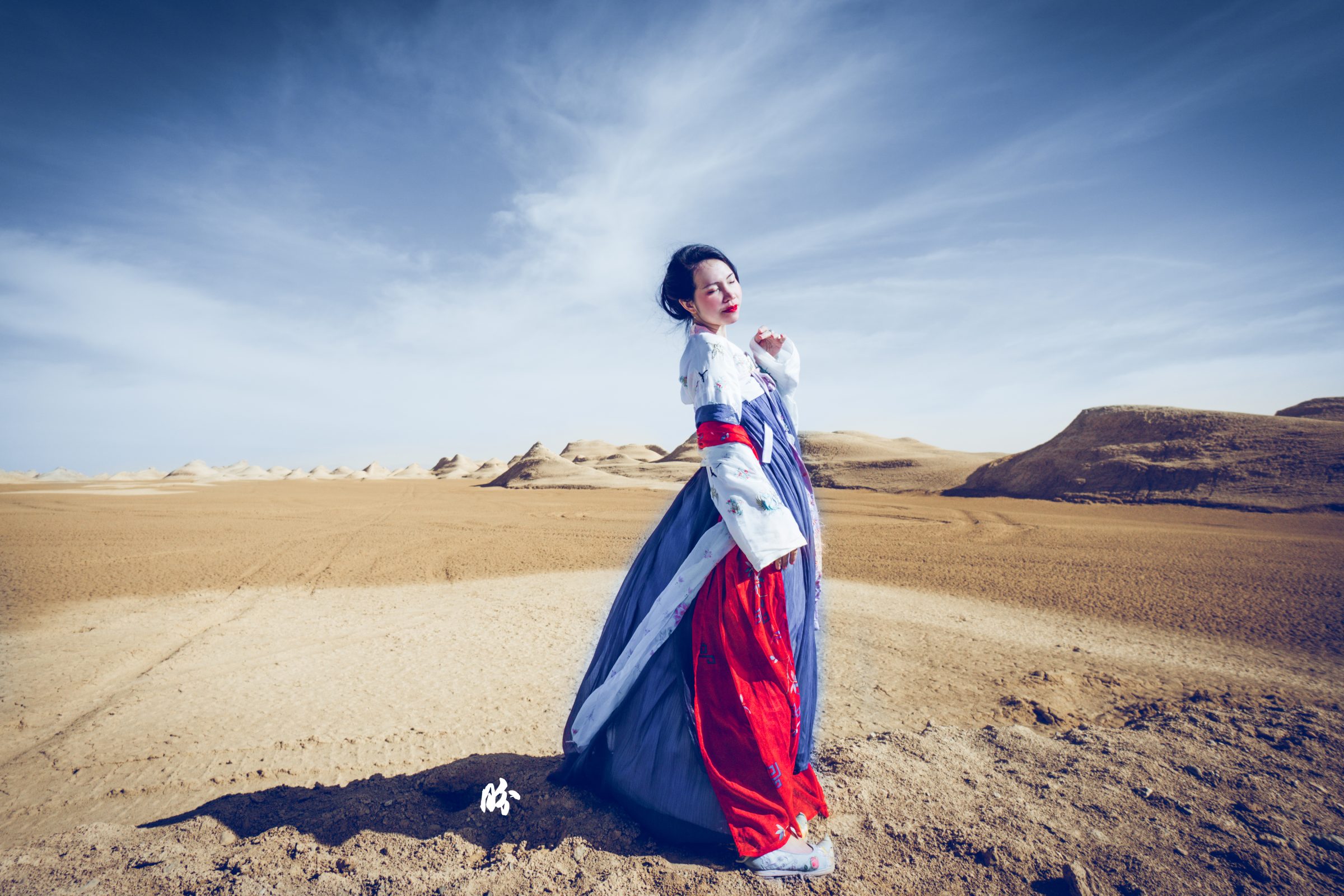
We took a while to find the right angle of light to take the Yardangs because you have to ensure that there is enough shadows casted on the harfangs to see its shape even in the far distance, but not entirely in darkness. And also, the density of yardangs have to be just nice so it’s not too sparse, or too tall and blocked off the other yarfangs etc. My husband was extremely patient and supportive!! (gold medal!)
Our extremely savvy guide took us to another free site in Qinghai to see the Yardangs. There’re also Yardangs that have properly built up tourist facilities and sites that charge a fee, but he was familiar with the area so here we are! This was taken at the Yardangs in the Tsaidam desert in Qinghai. The word “Yardang” is of Turkic origin, meaning ‘steep bank’, and was first introduced to the English-speaking world by the Swedish explorer Sven Anders Hedin in 1903.
Unlike sand dunes, these are solid rocks which have been polished and reduced to these shapes by thousands of years of sand and dust abrasion. Nature’s their craftsman!
Cos it’s rock solid hard, we had no issue getting on top of some of them. Much easier compared to the soft sandy desert hills where you would slide back two steps for every three steps forward.
The entire area was made up of different heights and shapes of Yardang which is really spectacular!
The thing about the area is that, like Australia, there is really a very large portion of the land that’s uninhabited and most of the time you would be driving through deserted land. It’s a very harsh environment in general. Though, they make gorgeous pictures. The reality of living in those places is quite rough. The toilets for instance, not only did not have doors or water. They did not even have proper sewage system. All you have was just a built-up shelter with partitions and a hole where your droppings go, and you look down, you can see droppings of all those who came before you… Such sense of legacy.
BUT don’t let me scare you. When you are in such grandeur of nature, the toilet is the LAST thing that bothers you. In fact, I have to say, when most places look better in pictures, our pictures pale in comparison to the actual beauty of these places that we went. Ultimately because pictures are 2-dimensional, whereas when you are there, it’s 360 degrees all around you, engulfing you.
If you noticed, I wore Tang dynasty inspired dresses for the two Hanfus in this region. Nothing’s accidental! I did it because Tang dynasty benefited greatly through silk road trade that passed through this area, and this exchange with the West and Central Asia made Tang culture so much more interesting and exotic!
PS. this has inspired a little passion project that will be one year in the making. But I’ll just keep quiet for now while I focus on a few other more short term projects.
And because I’ve procrastinated for so long, I’ll just update with the first part of my Qinghai-Gansu trip for now and will update the rest of the trip in the coming week or so.
One response to “#Hanfugirltravels: Journey to the wild (north) west [Part 1/2]”

Did you see the rainbow mountains at Zhangye? It is like my dream travel destination! Also, I can’t emphasize how much I love your dresses and photos. I didn’t notice this Tibetan robe is not the same as the other one you wore, but they look gorgeous anyway!
Leave a Reply